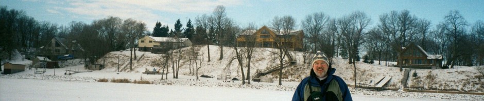
Hi! We’re still in Oregon!
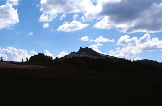
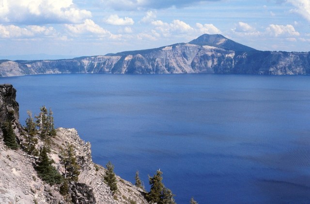
[Crater Lake National Park is located in southern Oregon. Established in 1902, Crater Lake National Park is the fifth-oldest national park in the U.S. and the only national park in Oregon. The park encompasses the caldera of Crater Lake, a remnant of a destroyed volcano, Mount Mazama, and the surrounding hills and forests. The lake is 1,949 feet (594 m) deep at its deepest point, which makes it the deepest lake in the United States, the second-deepest in North America and the ninth-deepest in the world. (Editor’s comment: That’s five ‘deep’ or ‘deepest’ in one sentence) When comparing its average depth of 1,148 feet (350 m) to the average depth of other deep lakes, Crater Lake becomes the deepest in the Western Hemisphere and the third-deepest in the world. The impressive average depth of this volcanic lake is due to the nearly symmetrical 4,000-foot-deep (1,200 m) caldera formed 7,700 years ago during the violent climactic eruptions and subsequent collapse of Mount Mazama and the relatively moist climate that is typical of the crest of the Cascade Range. The caldera rim ranges in elevation from 7,000 to 8,000 feet (2,100 to 2,400 m). The United States Geological Survey benchmarked elevation of the lake surface itself is 6,178 feet (1,883 m). This National Park encompasses 183,224 acres (74,148 ha; 286.29 sq mi). Crater Lake has no streams flowing into or out of it. All water that enters the lake is eventually lost from evaporation or subsurface seepage. The lake’s water commonly has a striking blue hue, and the lake is re-filled entirely from direct precipitation in the form of snow and rain. (Wikipedia)]
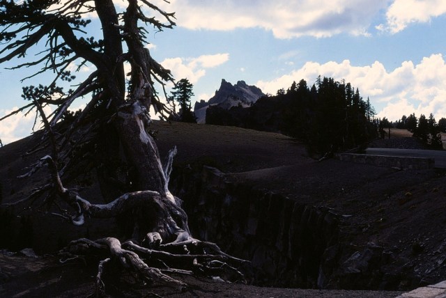
[Gnarly tree . . . ]


[And this is my framed photo from Crater Lake.]
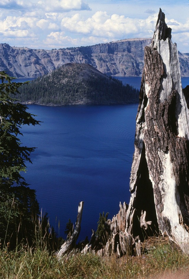
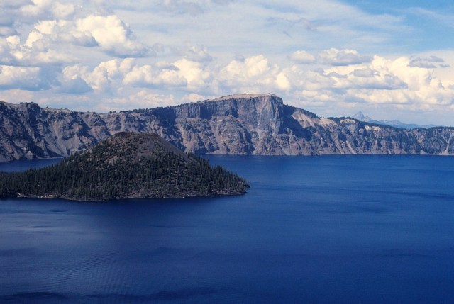
[Now that’s blue . . . and deep!]

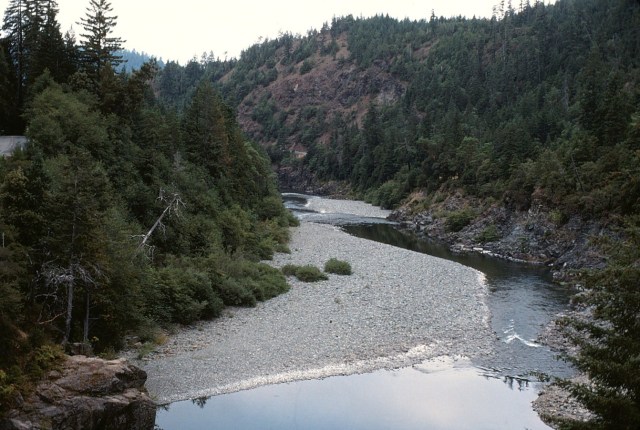
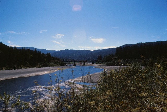
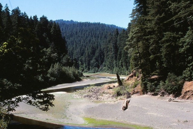
[I’m thinking this is the Rogue River because . . . ]

[The Rogue River begins at Boundary Springs on the border between Klamath and Douglas counties near the northern edge of Crater Lake National Park. Although it changes direction many times, it flows generally west for 215 miles (346 km) from the Cascade Range to the Pacific Ocean at Gold Beach. Arising at 5,320 feet (1,622 m) above sea level, the river loses more than 1 mile (1.6 km) in elevation by the time it reaches the Pacific. It was one of the original eight rivers named in the National Wild and Scenic Rivers Act of 1968, which included 84 miles (135 km) of the Rogue, from 7 miles (11.3 km) west of Grants Pass to 11 miles (18 km) east of the mouth at Gold Beach. In 1988, an additional 40 miles (64 km) of the Rogue between Crater Lake National Park and the community of Prospect was named Wild and Scenic. Of the river’s total length, 124 miles (200 km), about 58 percent is Wild and Scenic. The Rogue is one of only three rivers that start in or east of the Cascade Range in Oregon and reach the Pacific Ocean. (Wikipedia)]


[The Rogue has long been noted as a rafting river, with various stretches of different degrees of rapids. Dan & I decided to raft the rapids . . . OK, not the biggies. So, we were in a two-person raft and as soon as we hit the first rapids, over he went, on his back, on the bottom of the raft, leaving me to negotiate the rapids all be myself! I’ll never let him live that down. 😉 ]

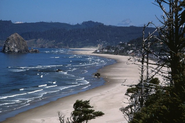
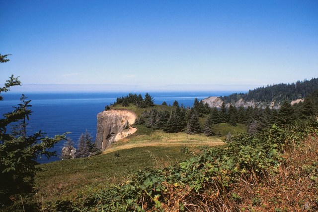
[And now on to the coast . . . ]
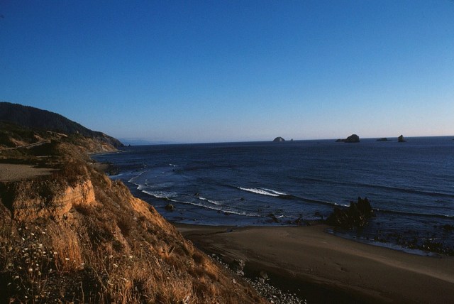
[I do not know what this is?]

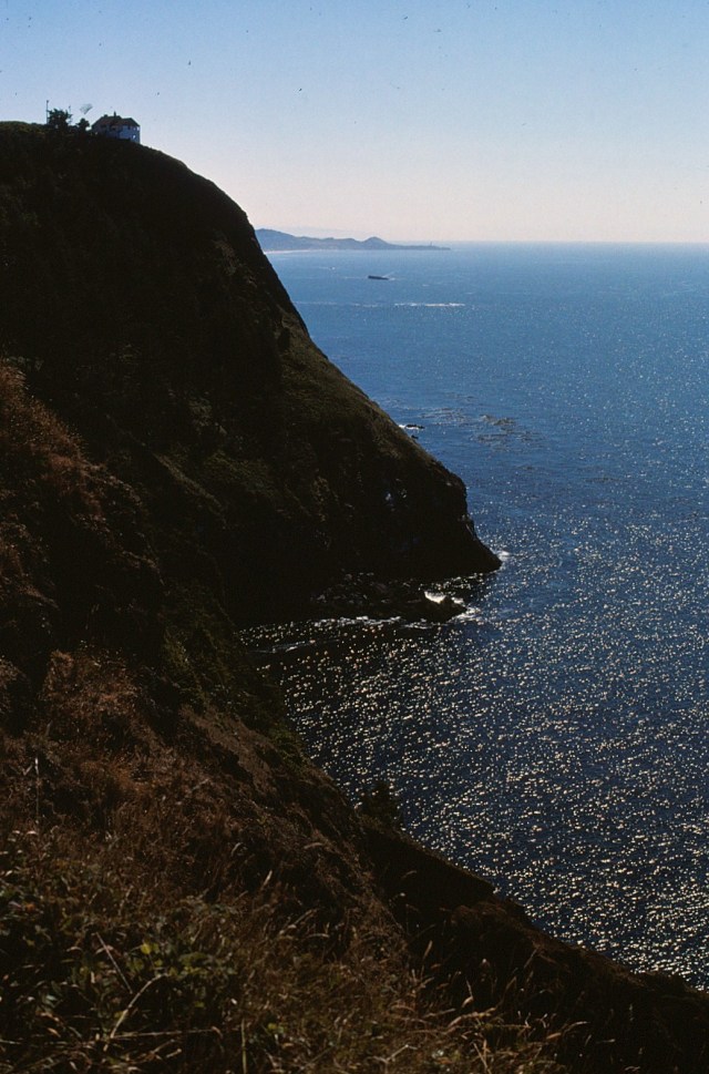
[But that will be the case for a while now. The drive down the Pacific Coast Highway to San Francico is gorgeous. It’s just that even after a long time on the Google machine, I could not identify most of these following pictures . . . ]

[These may be Cresecent City, California?]

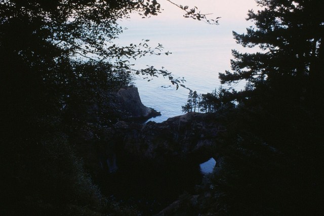
[But you can get a photo like this about every two minutes . . . ]


[Well, it’s artsy.]

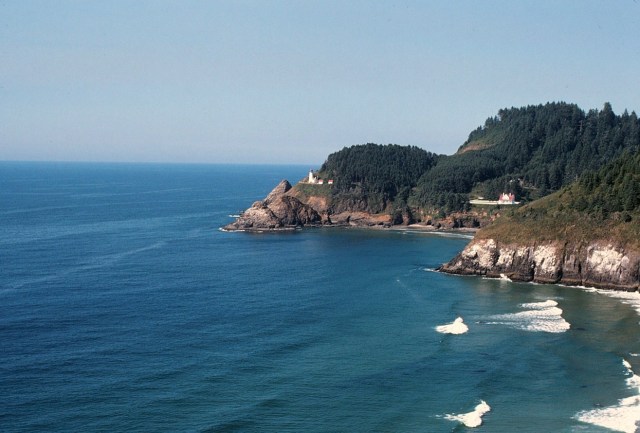
[I couldn’t even find this lighthouse? Looks like it should be one that’s pretty well known?]

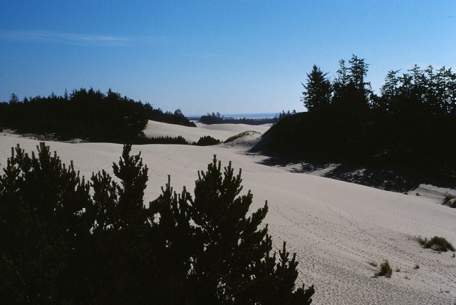
[Hmmm, guessing dunes?]

[This may be the Smith River as we are entering the . . . ]

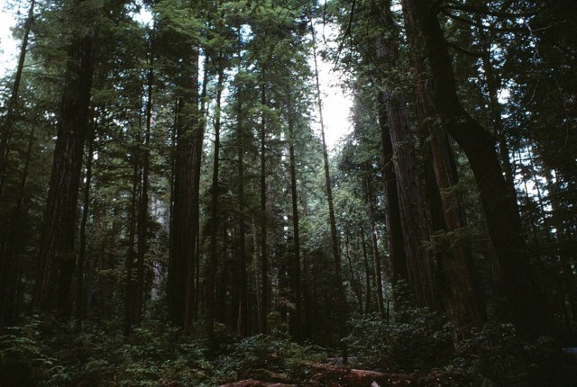
[The Redwood National and State Parks (RNSP) are old-growth temperate rainforests located in the United States, along the coast of northern California. Comprising Redwood National Park (established 1968) and three state parks (dating from the 1920s), the combined RNSP contain 139,000 acres (560 km2). Located entirely within Del Norte and Humboldt Counties, the four parks, together, protect 45% of all remaining coast redwood (Sequoia sempervirens) old-growth forests, totaling at least 38,982 acres (157.75 km2). These trees are the tallest and one of the most massive tree species on Earth. In 1850, old-growth redwood forest covered more than 2,000,000 acres (8,100 km2) of the California coast. (Wikipedia)]
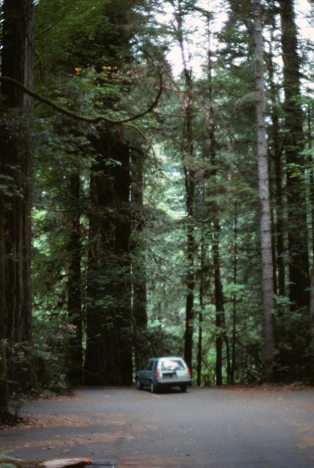

[Just being in the presence of, and in the aroma of, these trees is indescribable.]
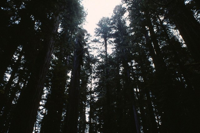


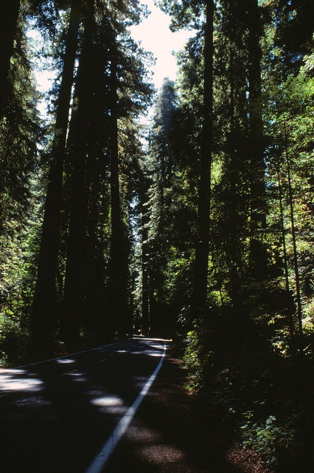
[Avenue of the Giants, how perfectly apt.]


[We now may be in Muir Woods. More Redwoods just a drive and a 3-wood up the coast from San Francisco.]

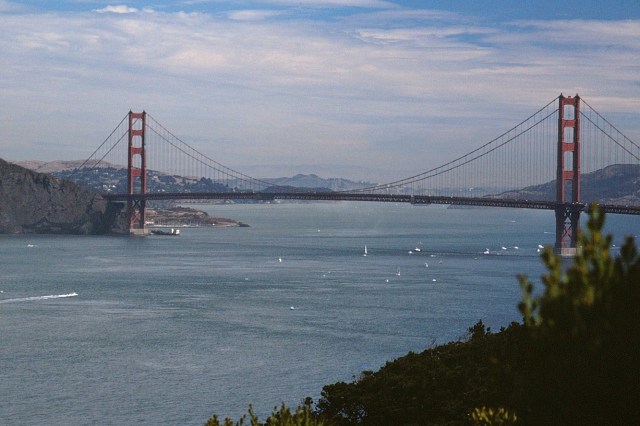
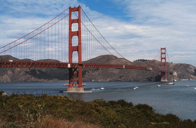
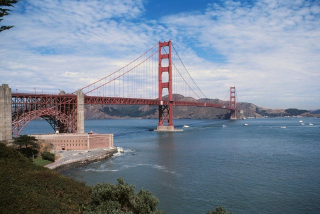
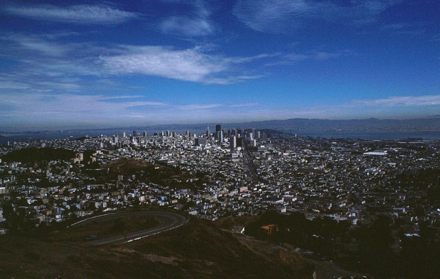
[And now the city by the bay . . . ]

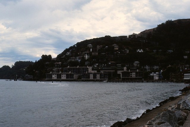
[Sausalito . . . ]
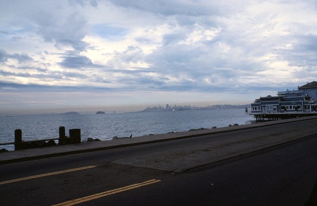
[On the north side of the Golden Gate Bridge.]
[San Francisco from Sausalito]
[And these are, indeed, in Muir Woods.]


[The remaining need no further description . . . ]

I was set to go to Oregon to play college baseball and football. ~ Harmon Killebrew
Up Next: Something local?
