Continuing our series of “Travels With Dan,” a retrospective of the life and times of two not-so-swinging bachelors with disposable income and time on their hands. This time, as the title suggests, to Oregon in September 1985 before the state became REALLY hip.

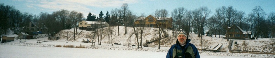
[Above an indication of the trip’s success – two framed photos from the state have adorned the walls of my abode for 32 years, and the other a photo from the previously published Outer Banks posting. Below, we have arrived in Portland, the state’s largest city.]
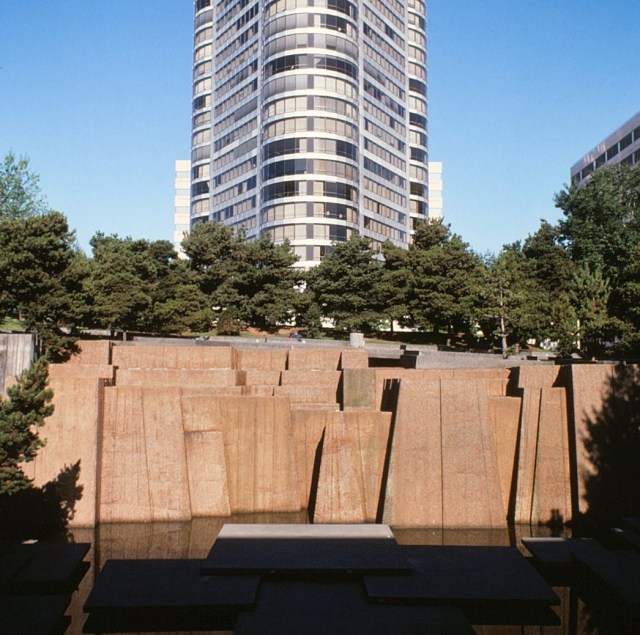
[Somewhere in the city along the banks of the Wlliamette River . . . ]
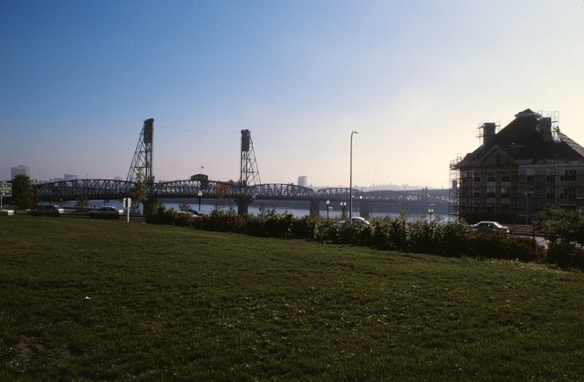
[As well. The Willamette is a major tributary of the Columbia River.]

[Basketball Dan surveys the lands to be conquered.]

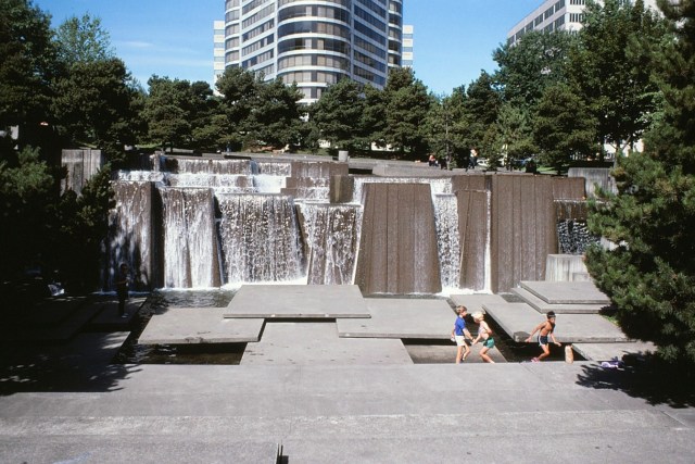
[And back to where we began – they turned the water on.]
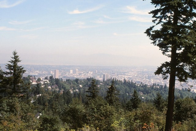
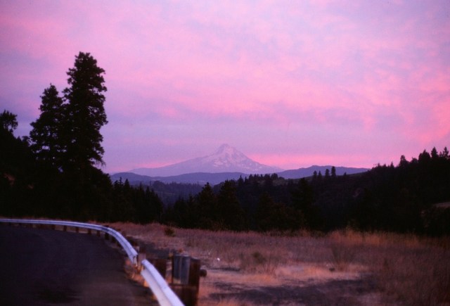
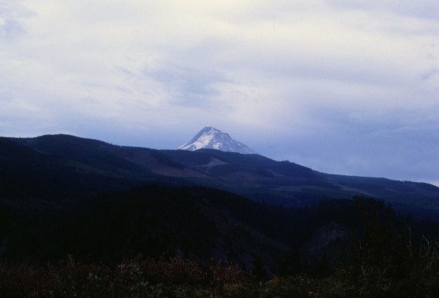
[Can you see Mt. Hood? Me neither. It’s a real hit or miss thing, most of the time a miss as I understand it. This view is from Portland’s famous Rose Garden, and why it’s called the Rose City.]

[If one can’t see the mountain, might as well take photos of the roses.]

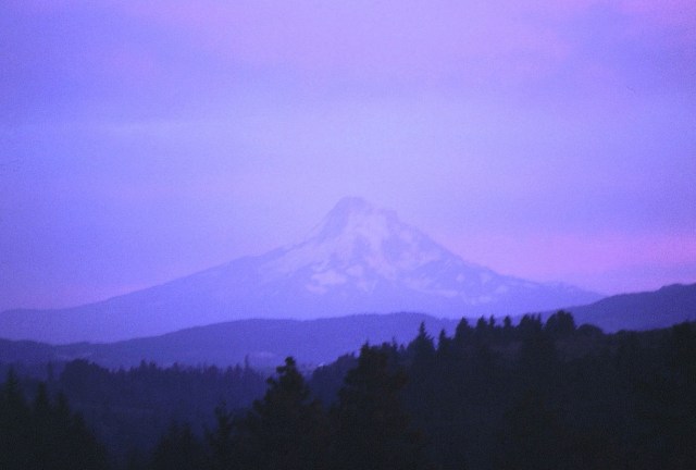
[This haze is what generally preempts any views of Mt. Hood.]
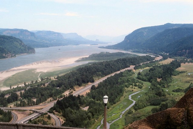
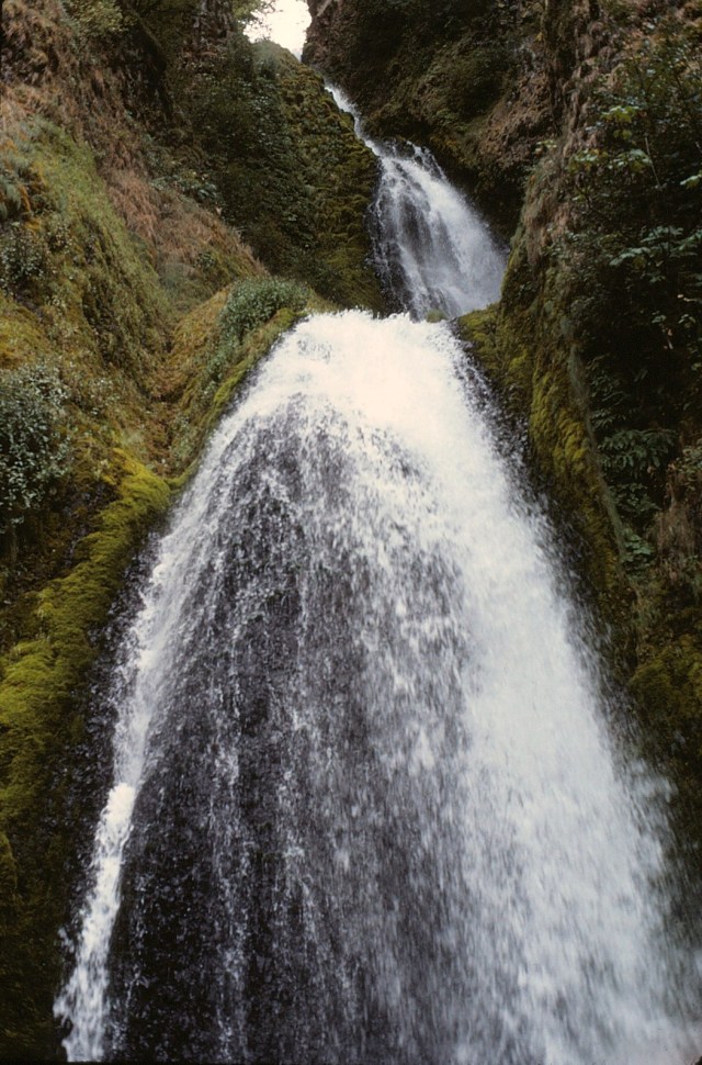
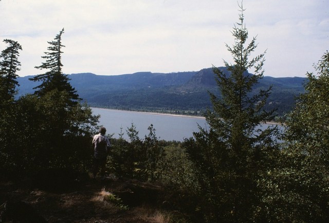
[So, let’s go to the not too far away Columbia River valley. The Super and I many years later traveled the gorge by train – highly recommended.]
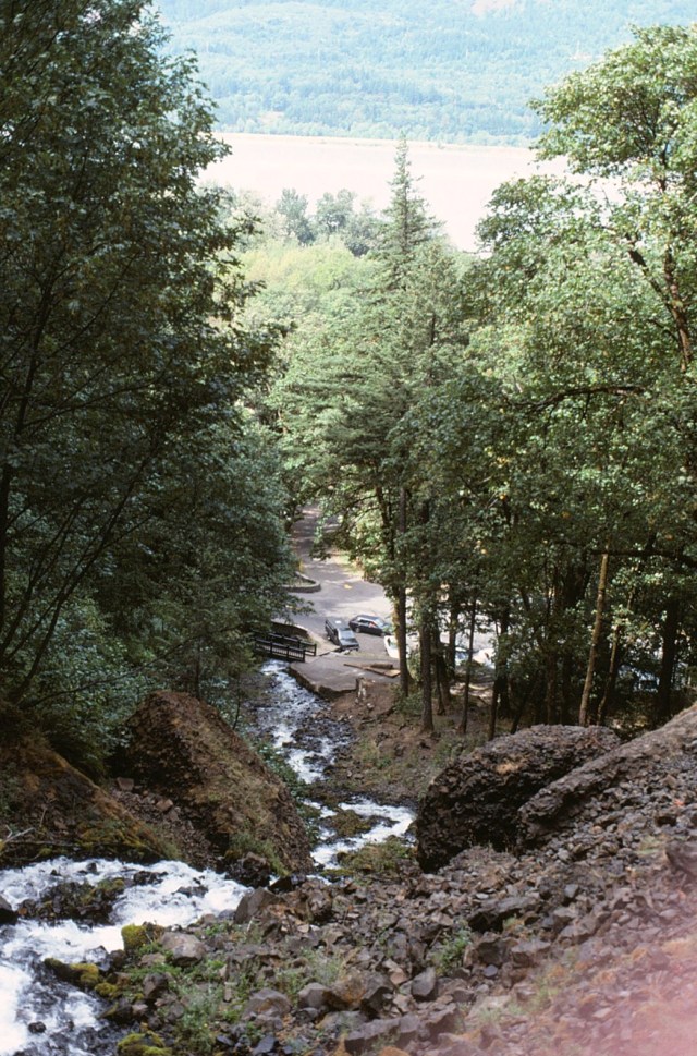
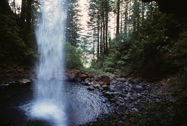
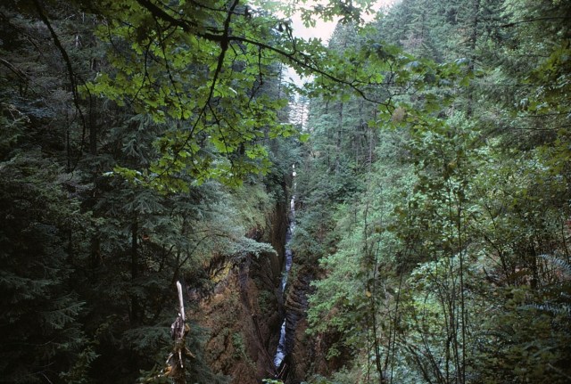
[There are many waterfalls in the gorge, but unfortunately I do not remember all of them.]
[We hiked up for the panoramic veiws . . . ]
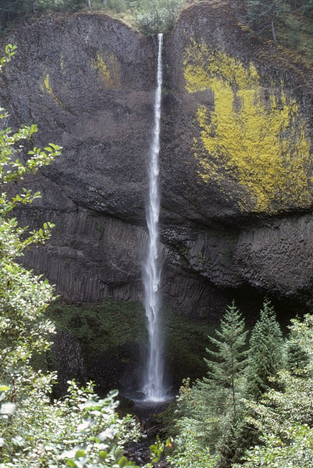
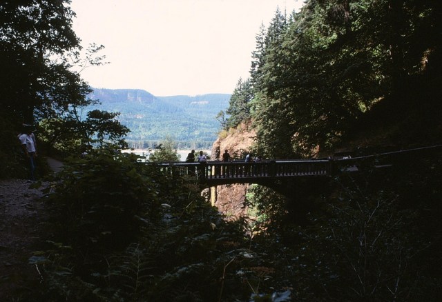
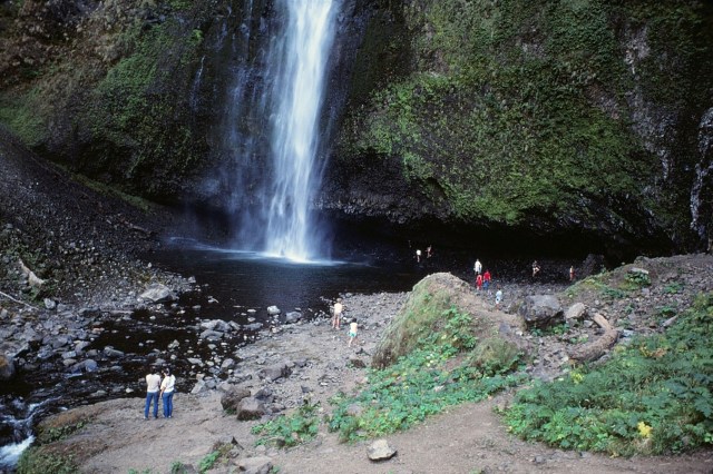
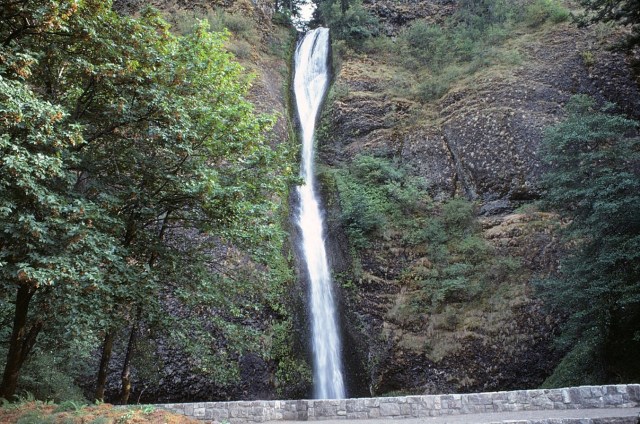
[And then we came to the biggie, which I do remember. Multnomah Falls is 620 feet high so it’s quite memorable.]
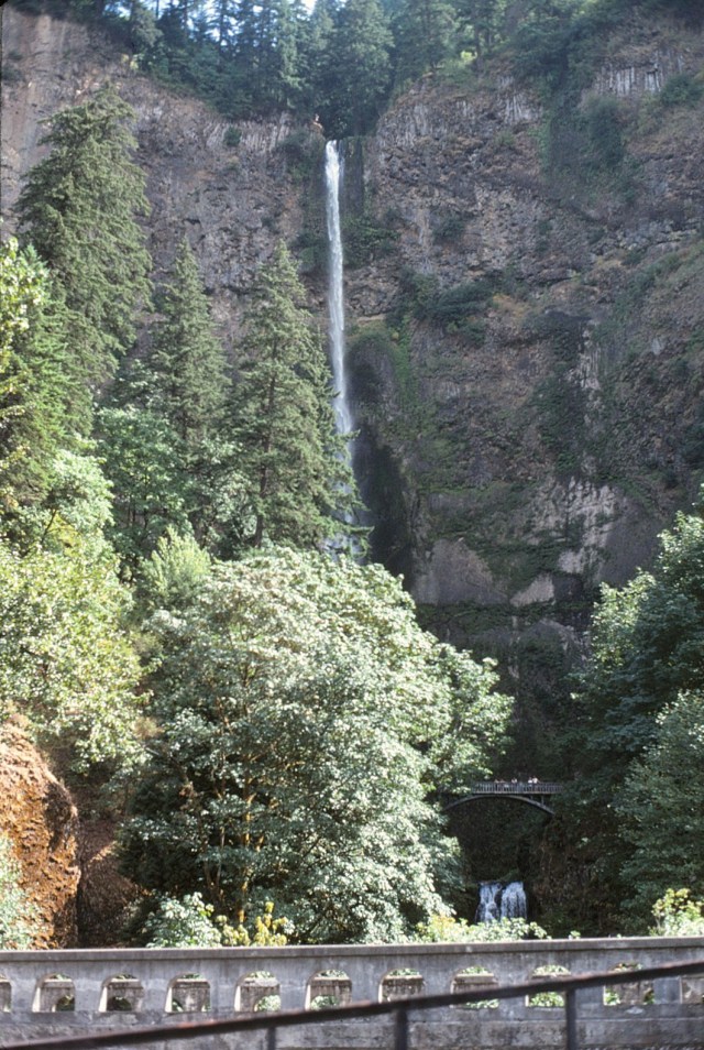
[And there’s a nice bridge vantage point.]
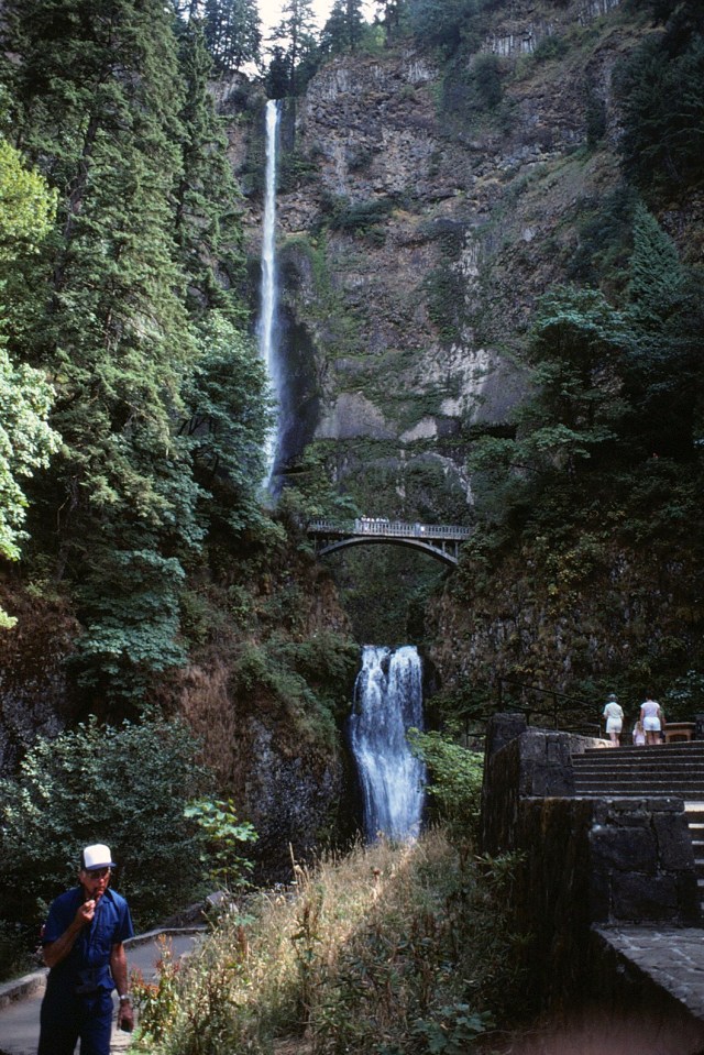
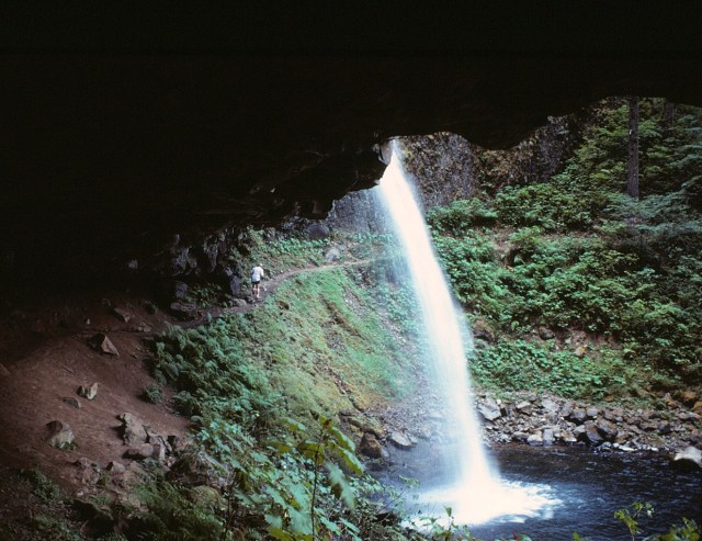
[Dan crosses safely under this falls.]
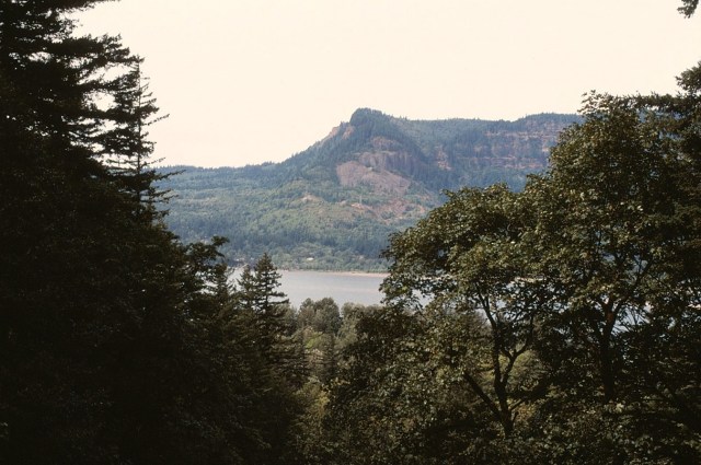
[‘Twas all quite lovely as we stopped for a cross river view of the State of Washington.]
[Wow, we were really high!]


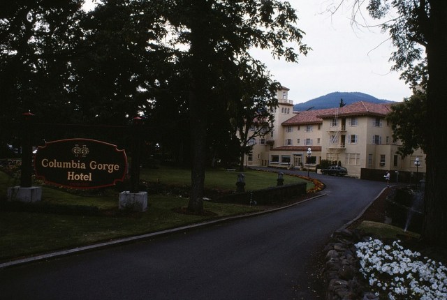
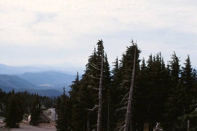
[After climbing up to and down from great heights, a time to spend the evening here.]
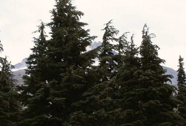
[Up and on the road the next morning, heading west and our first sighting of Mt. Hood.]
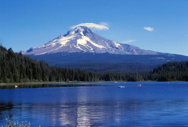
[Mount Hood, called Wy’east by the Multnomah tribe, is a potentially active stratovolcano in the Cascade Volcani Arc of northern Oregon. It is located about 50 miles (80 km) east-southeast of Portland, on the border between Clackamas and Hood River counties. In addition to being Oregon’s highest mountain, it is one of the loftiest mountains in the nation based on its prominence. The height assigned to Mount Hood’s snow-covered peak has varied over its history. Modern sources point to three different heights: 11,249 feet (3,429 m), a 1991 adjustment of a 1986 measurement by the U.S. National Geodetic Survey (NGS), 11,240 feet (3,426 m) based on a 1993 scientific expedition, and 11,239 feet (3,426 m) of slightly older origin. The peak is home to 12 named glaciers and snowfields. It is the fourth highest in the Cascade Range. (Wikipedia)]
[At the time, Mt. Hood was the only place in the continental 48 states with year-round skiing. I do not know if that’s still the case.]
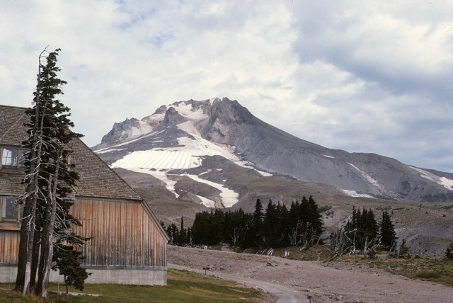
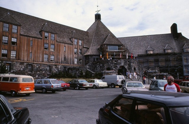
[A view from our lodging there . . . ]
[And our lodging was – Timberline Lodge. I don’t know how far in advance one would need to make reservations in this day and age?]
[Then Dan and I went out the back door to climb the mountain. Well, we scruffled up along the scree to get to the ski slopes, and then disaster struck! My wonderful, now 15-year old, Honey Pentax SLR camera that I bought in Okinawa when I was in the army, had a major shutter failure – as in, completely tore off from its moorings. No more photos from the hard, sweaty scramble up the mountain! The trip was just beginning, I had to replace the camera – I bought another Pentax, but I have no memory of where I purchased it?]
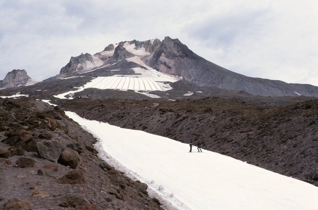
[Obviously the next day, I believe we were still headquartered out of Timberline Lodge, and I now armed with a new camera. Time for some hiking in the area . . . ]
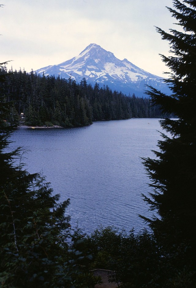
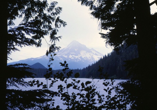
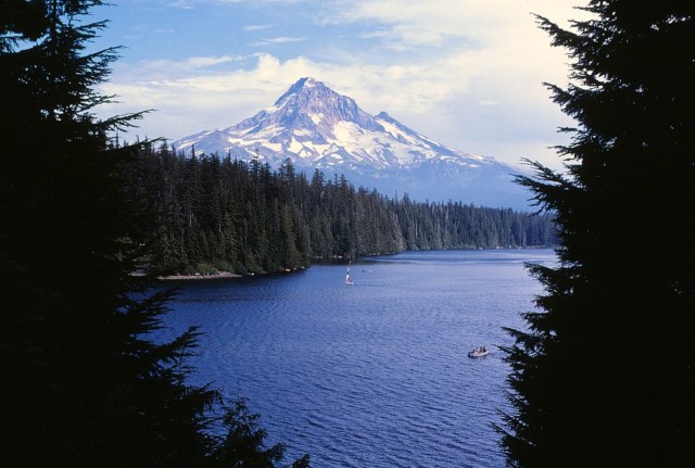
[We hiked around Lost Lake, and photos of Mt. Hood over the lake are not surprisingly rated among the top photo ops in the country . . . ]
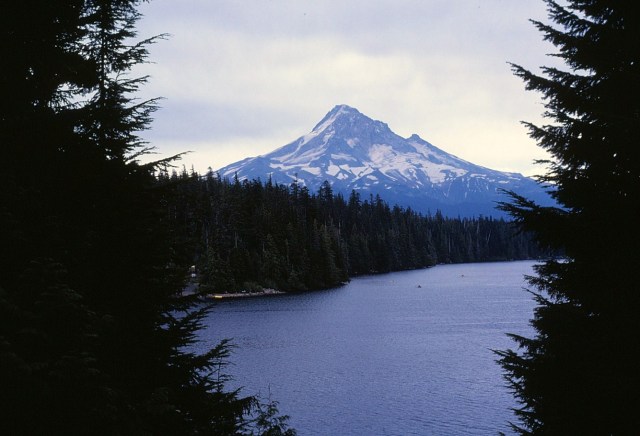

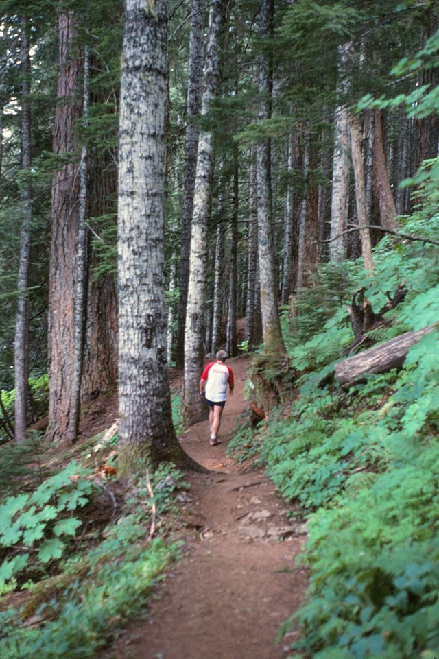
[Dan leads the way on the trail around the lake . . . ]

[And this is the photo I framed for permanent display in the family household.]
[Isolated mountain tops are cool in that they can create their own micro-weather . . . ]
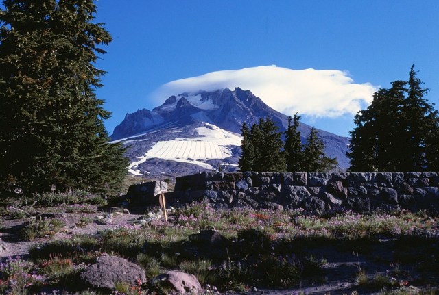
[Until I started this post, I forgot I had these shots of the cloud tending to the mountain top. As I said, a cloud created by the mountain top.]
[We stopped along here so Dan could get a shot of the first Nike store . . . or maybe it was a moose, or a beaver, I don’t recall.]

[When we crossed over the Cascades to eastern Oregon, we hit a totally different climate and topography – we were now in the arid West.]
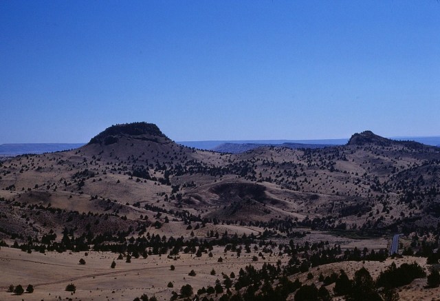
[It was like a moonscape.]
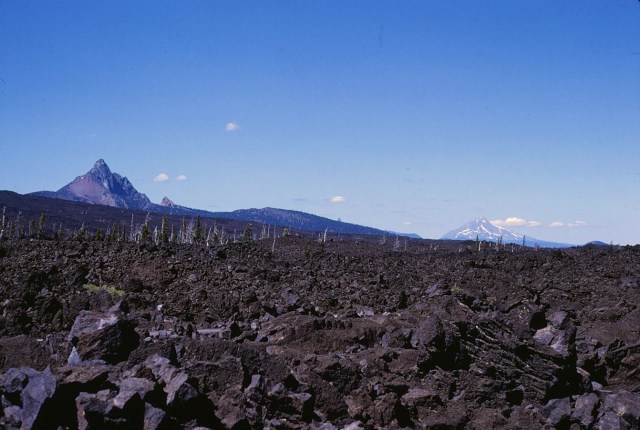
[And then the sign for Willamette National Forest . . . where I guess trees were optional?]

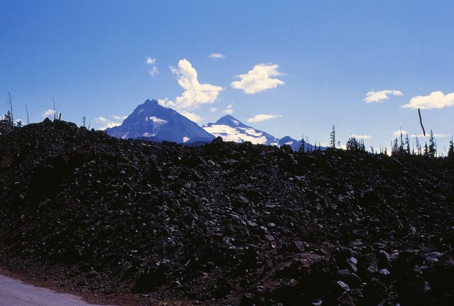
[McKenzie Pass (elev. 5335 ft/1623 m) is a mountain pass in the Cascade Range of central Oregon. It is located at the border of Linn and Deschutes counties, approximately 20 mi (32 km) northwest of Bend , between the Three Sisters to the south and Mt. Washington to the north. At the summit of the pass, Oregon Route 242 crosses a 65-square-mile (170 km2) lava flow just west of Sisters. Surrounded by lava, the Dee right Observatory was constructed in 1935 by Civilian Conservation Coprs workers and named after their foreman. Visitors climb to the observatory to view the Cascade peaks visible from McKenzie Pass. Also near the summit is Clear Lake, a renowned location for fresh-water diving. (Wikipedia)]

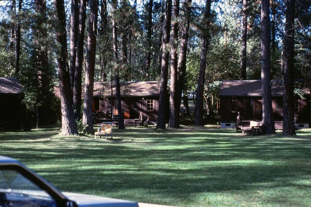
[This was a place we stayed – obviously. Unfortunately, it was so long ago and I can’t remember its name or location – obviously.]
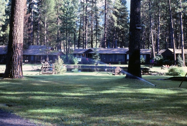
[I do remember the place – it was a beautiful setting.]
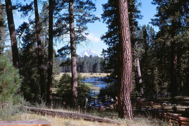
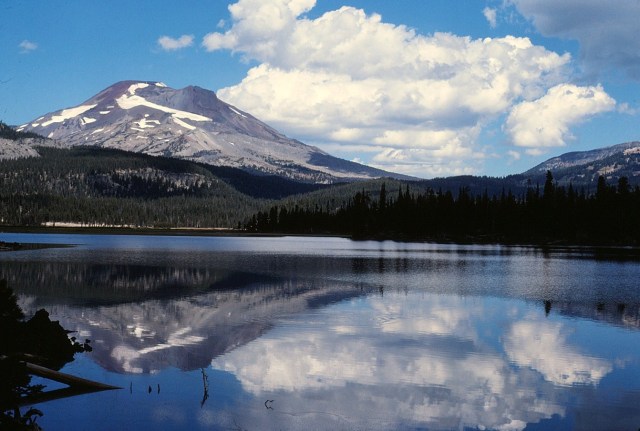
[The Three Sisters are a complex volcano of three peaks of the Cascade Volcanic Arc and the Cascade Range. Each exceeding 10,000 feet (3,000 m) in elevation, they are the third-, fourth-, and fifth-highest peaks in the state of Oregon, and are located in the Three Sisters Wilderness, about 10 miles (16 km) south of the nearest town of Sisters. Diverse species of flora and fauna inhabit the area on and around the mountains, which is subject to frequent snowfall, occasional rain, and extreme temperature differences between seasons. The mountains, particularly South Sister, are popular for climbing and and scrambling. (Wikipedia)]
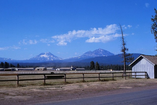
[Pretty much the center of the state.]
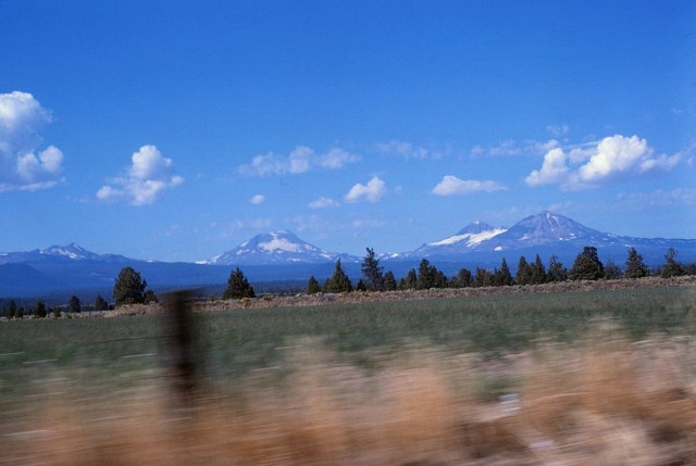
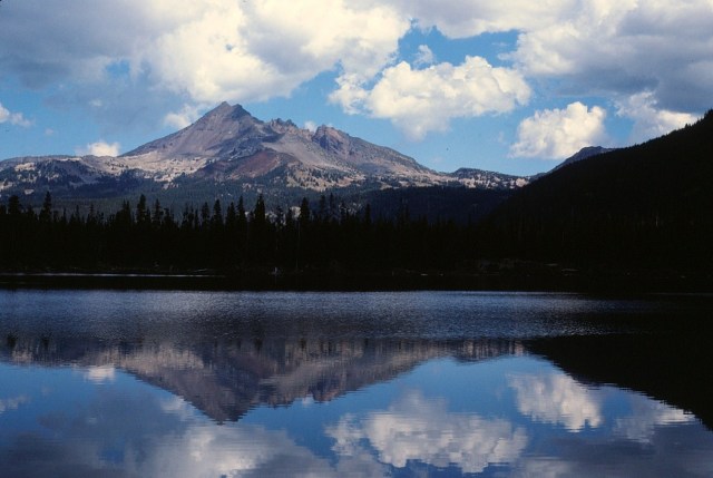
[I have every reason to suspect this is Mt. Washington over Big Lake, in the vicinity of the Three Sisters . . . ]
Eugene is located in western Oregon, approximately 278 billion miles from anything. ~ Dave Barry
Up Next: Part 2?
