January 25
Wellington, The Capital City

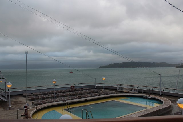
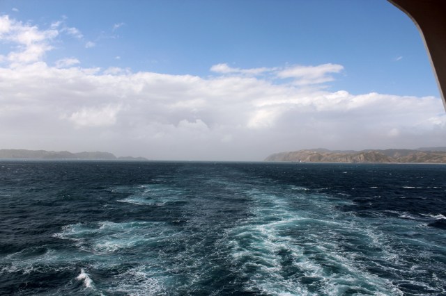
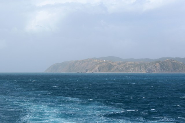
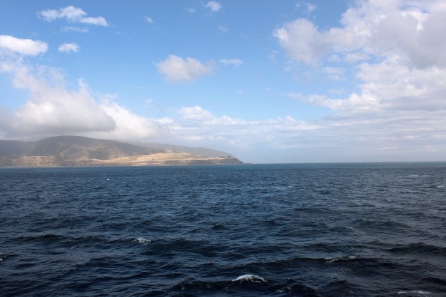
[“Cook Strait lies between the North and South Islands. It connects the Tasman Sea on the northwest with the South Pacific Ocean on the southeast, and runs next to the capital city, Wellington. It is 22 kilometres (14 mi) wide at its narrowest point, and is considered one of the most dangerous and unpredictable waters in the world. The strait is named after James Cook, the first European commander to sail through it, in 1770. In Maori it has the name Raukawa or Raukawa Moana. Raukawa may mean “bitter leaves”.” (Wikipedia) The Super remembers the crossing from Picton to Wellington as our roughest time on the ship.
“Interislander’s Cook Strait Ferries travel between Wellington and Picton New Zealand. The 92 km voyage takes 3 hours and has been described as “one of the most beautiful ferry rides in the world”.” (Interislander)]
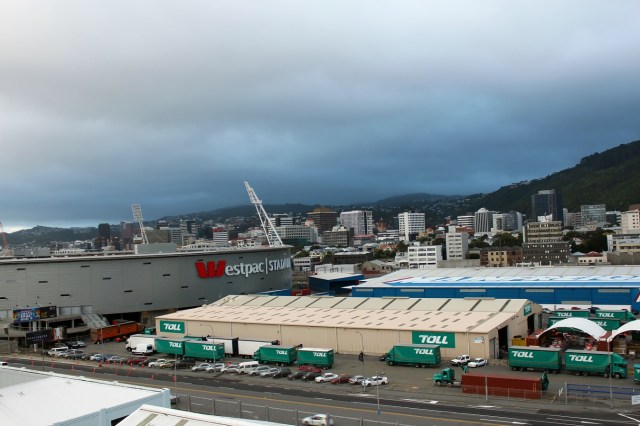
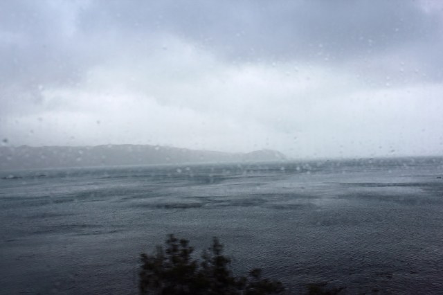
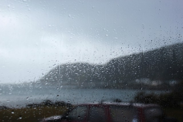
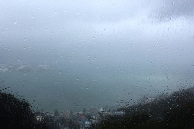
[Once in Wellington, however, we found we were in for a Dunedin kind of weather day. I guess every vacation day can’t be perfect?]
[“Yangtze Happiness”? Well, why not?]

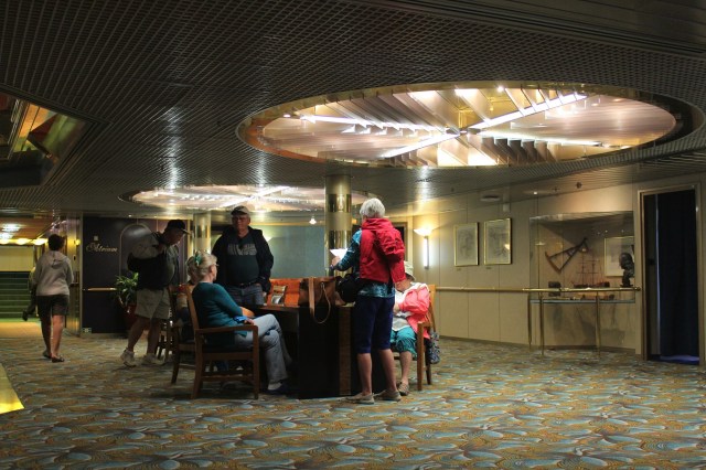
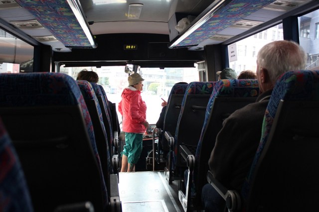
[This was always the group’s staging area for exit from the ship. It was on our level, but at the far end of the hall.]
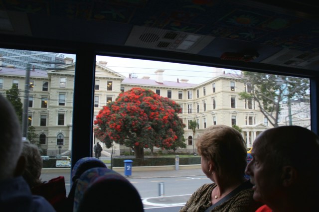
[And we’re off at another “port” port.]

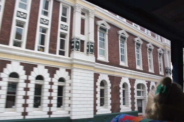
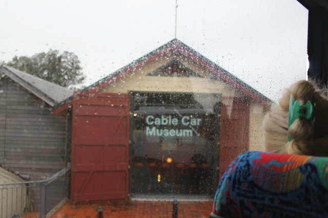
[A red brick building]
[“Reetz on the Bus” – sounds like a dime novel title?]
[I think we were undergoing an earthquake as we passed!? (OK, not really.)]
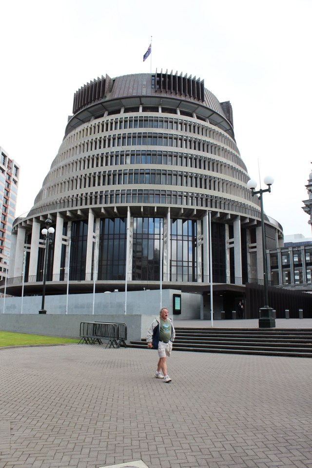
[This is The Beehive, the common name for the Executive Wing of the New Zealand Parliament Buildings . . . ]
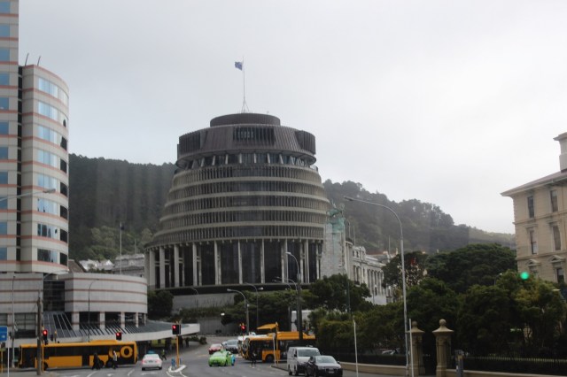
[Our tour guide proudly advised that The Beehive was voted the 3rd ugliest building in the world in 2009. It has been described as “a slide projector that fell on a wedding cake that fell on waterwheel.”]
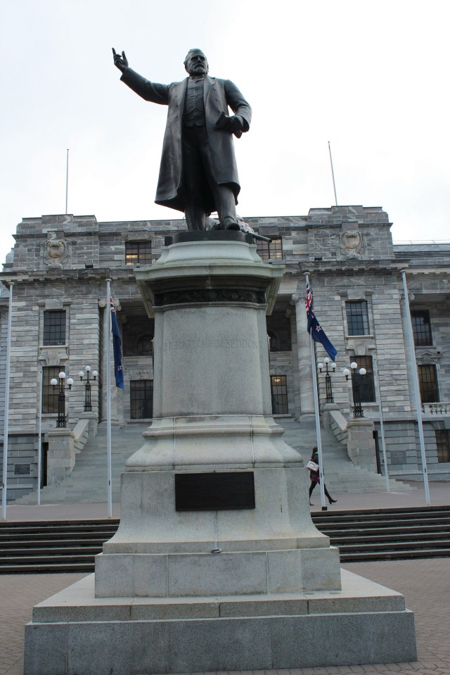
[A white building with a statue in front – see this is what happens when you wait to long? I believe it came under the generic title of Old Government Building.]
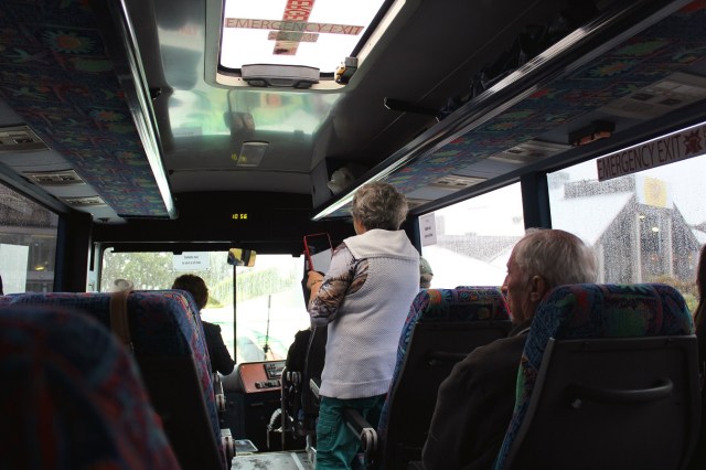
[We have deplaned the bus and are walking between the rain drops.]

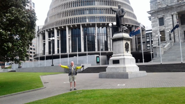
[Longest-serving prime minister in New Zealand, 1893 – 1906. Then they may have invoked the FDR rule?]
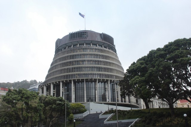
[Up close and personal with The Beehive and a weary Bill.]
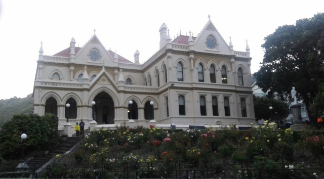
[Four photos of The Beehive and environs by the Super. Here is the classic Parliament Library from 1899.]
[The Bowen House on the left of the Beehive, the Parliament on the right.]

[A tourist interlopes in the photo.]
[Parliament and its library]

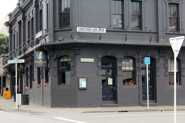
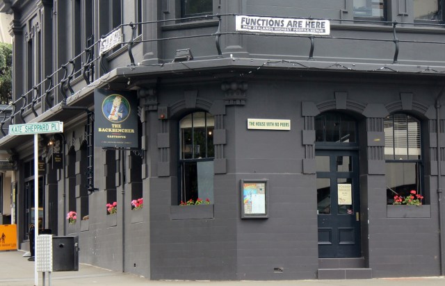
[Where the movers and shakers meet after work (or during work). Sounds like what the Hawk & Dove was to D.C.] ]
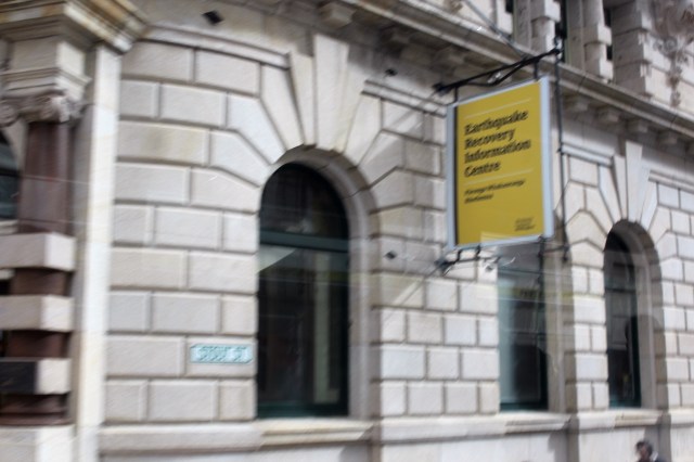
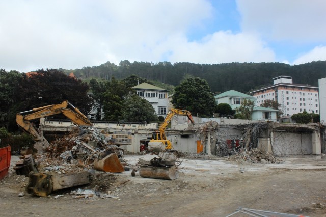
[Clean-up after the 7.8 earthquake that hit on November 14, 2016, a mere two months before we arrived.]
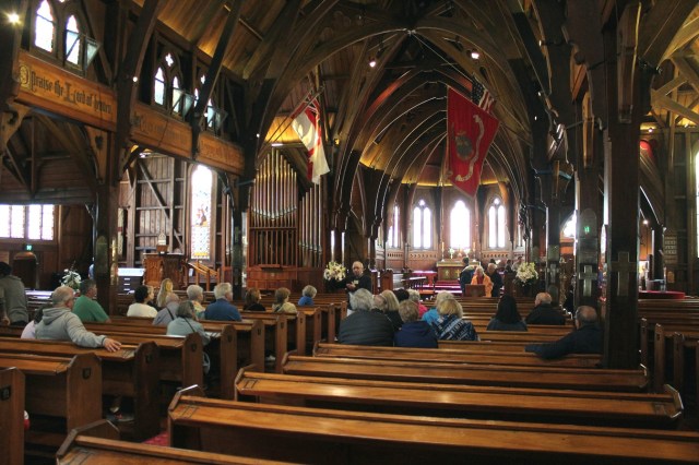
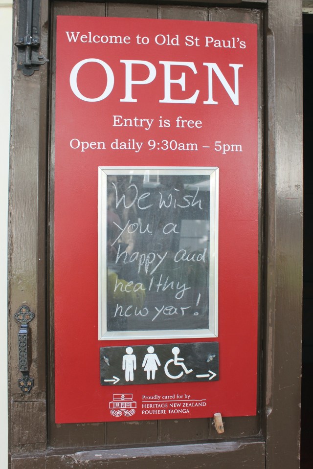
[A small quaint church described in the following three shots.]

[Another big white official building as the weather really begins settling in. It kind of looks like the Watergate.]

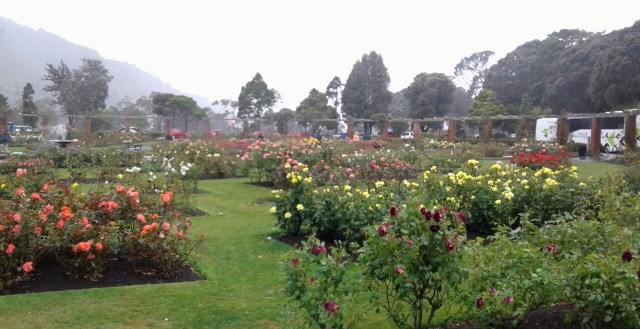
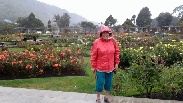
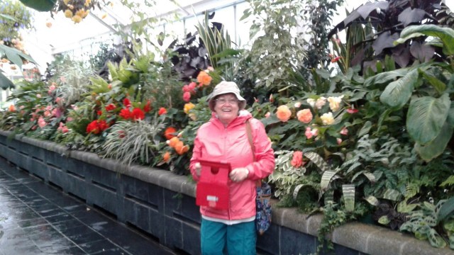
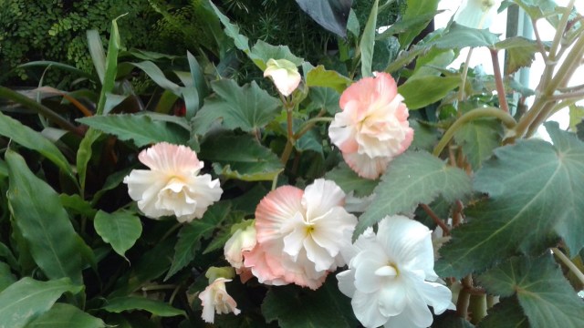
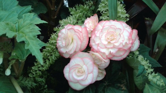
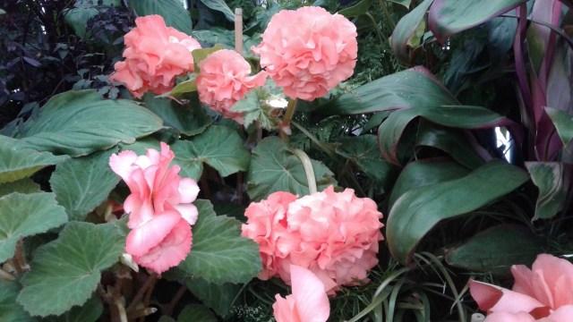
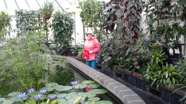
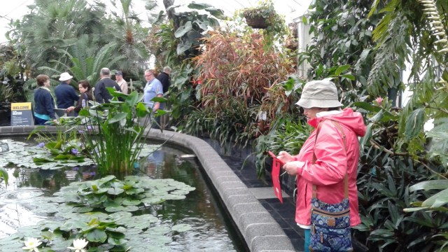
[This is quite the place. Unfortunately we were then in the midst of a “monsoon.” Some brave souls departed the bus for a look see.]
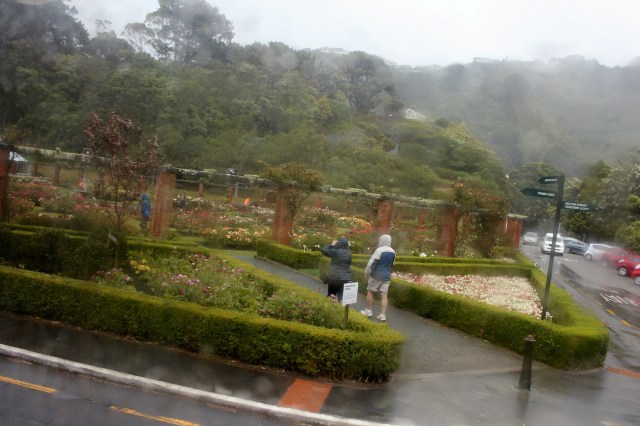
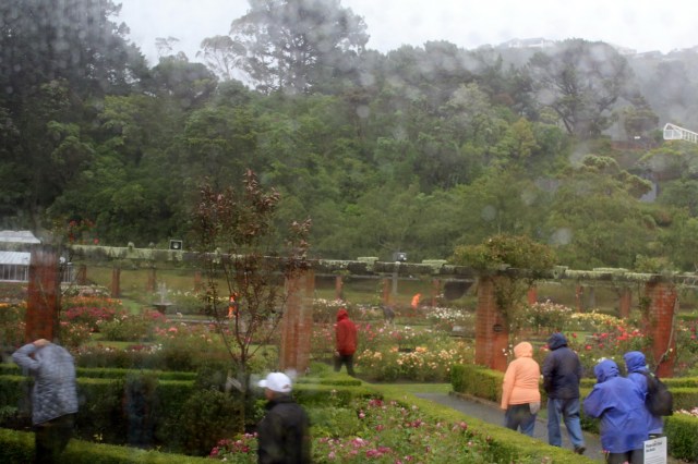
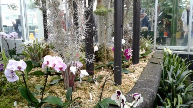
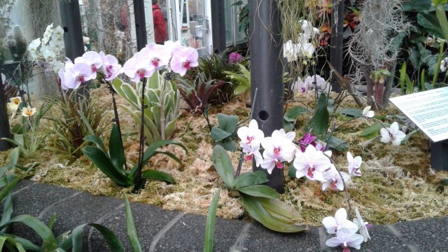
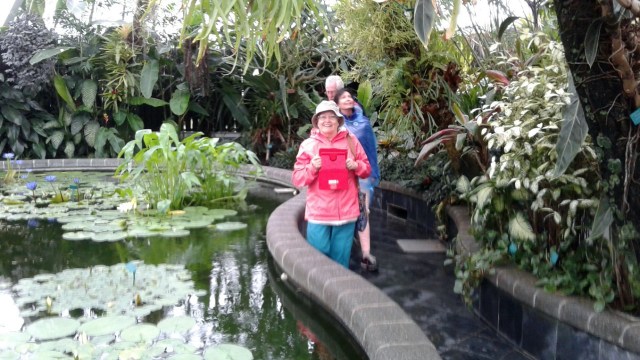
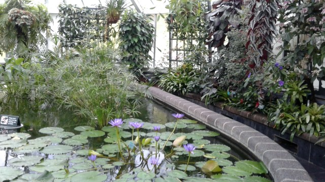
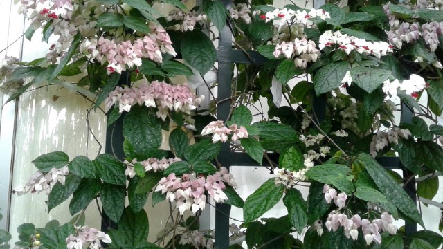
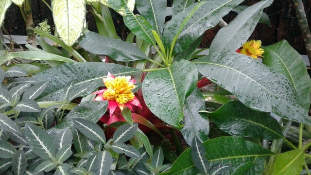
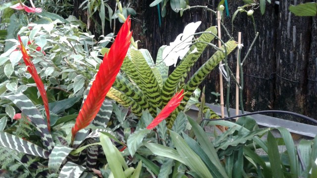
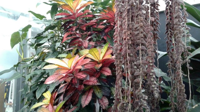
[I stayed behind to guard the bus, a/k/a, not willing to go out in hurricane. The Biddies really liked this place so I gave them total access here for the next 22 “flowery” photos.]


[On the road again – can’t remember if we, or anyone, partook?]
[Reetz again standing prior to: For your safety and comfort, please remain seated with your seat belt fastened until the captain turns off the fasten seat belt sign. This will indicate that we have parked at the gate and that it is safe for you to move about. Please check around your seat for any personal belongings you may have brought on board with you and please use caution when opening the overhead bins, as heavy articles may have shifted around during the flight.]
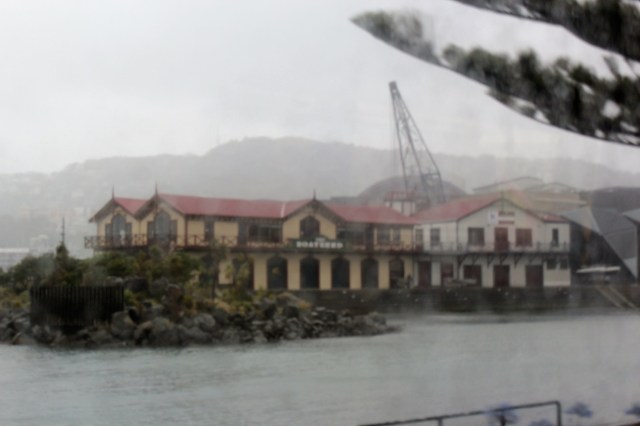
[A waterfront building as unfocused as the weather.]
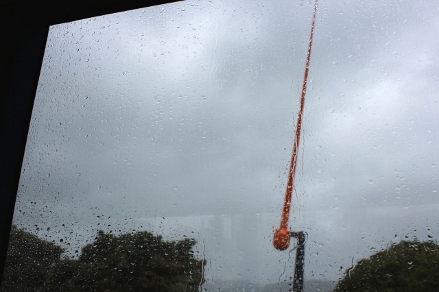
[“The Zephyrometer is a public sculpture by Evans Bay, Wellington. It was made by Christchurch artist Phil Price and installed in 2003. It is a kinetic sculpture consisting of a concrete cylinder holding a 26m tall needle which sways to show wind direction and speed (Wellington is known to Kiwis as “Windy Wellington”). After being damaged by lightning on August 14, 2014, it was restored on May 13, 2015.” (Wikipedia)]
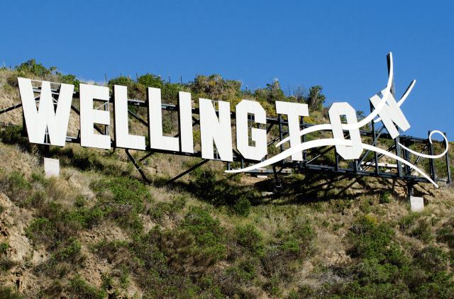
[Obviously a stock photo, but this is about the spot where we drove by it. As you can see from other photos, the weather conditions were not conducive for getting a “live” shot. This is the famous “Wellington Blown Away” sign, erected in 2012. So, how windy is Wellington? The average wind speed in the Windy City of Chicago is 18 km/h, in Wellington it’s 29 km/h. It is the windiest city in the world and is known as “Windy Wellington.”]
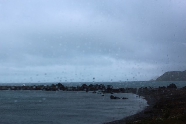
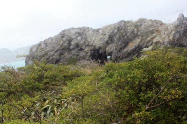
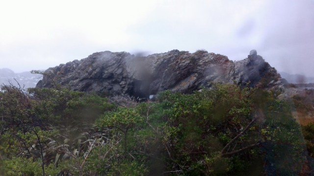
[It was a dark and stormy day.]

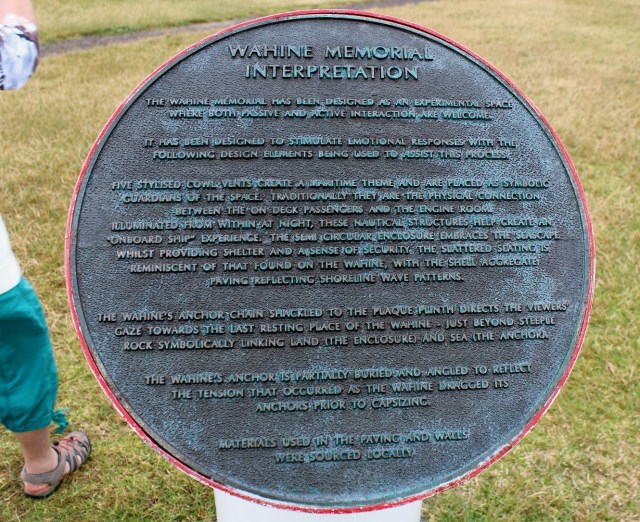
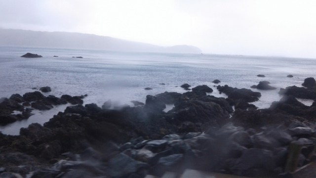
[On the morning of 10 April, 1968, Cyclone “Giselle” hit at the same time as another storm which had driven up the West Coast of the South Island from Antarctica. The two storms met over the capital city, Wellington, creating a single storm just as the inter-island ferry Wahine was crossing Cook Strait, between the South and North Islands of New Zealand. At 5.50 on the morning of 10 April, carrying 610 passengers and 123 crew, the Captain of the Wahine, decided to enter Wellington harbour. Huge waves and winds over 160kph drove the Wahine onto the rocks at Barrett Reef. Although both anchors were dropped, and all water-tight doors were closed, the vessel drifted off the rocks, and eventually listed, and sank, with the loss of 51 lives. The memorial is situated at Palmer Head near the site of the actual sinking. (Wahine Ferry Disaster).]


[The dark and stormy day continues.]
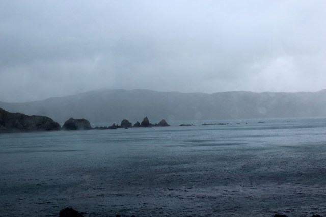
[Four shots from the Super in this vicinity.]

[Reetz once again vertical to “catalogue” our activities.]

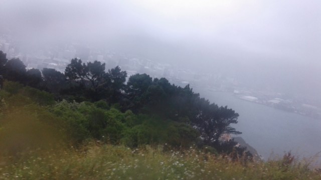
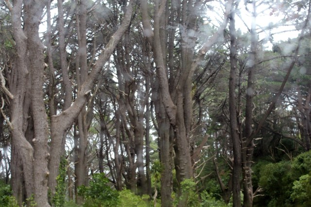
[Trees, a woody plant growth with green stuff at the extremities.]
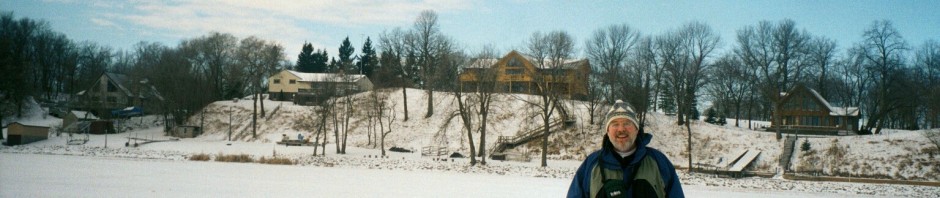
[With a residential landscape not unlike San Francisco, the occasional ice or snow renders automobiles inoperative here.]

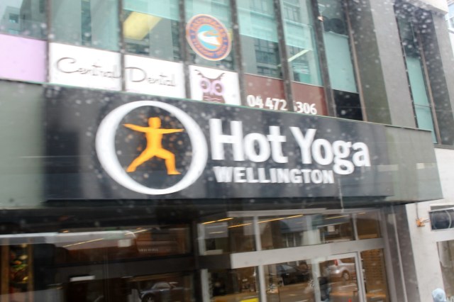
[Define “hot”?]
[And we’re off to Napier, our next destination . . . ]
[Where was the sun earlier?]
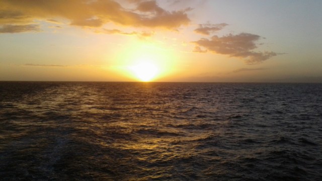
[Well, let’s just sit back and enjoy the views . . . ]


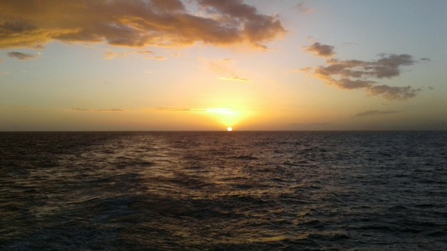
[Goodnight from the Super.]
The only thing I am afraid of is fear. ~ Duke of Wellington

You two have way too much fun. Seriously, it looks like another great time. Love the beehive building and the sweet sunset. Also fantastic flowers! Hope to get an alive account when we see you and catch up.